
This story will no longer be updated, for the latest information on the Line Fire, click here.
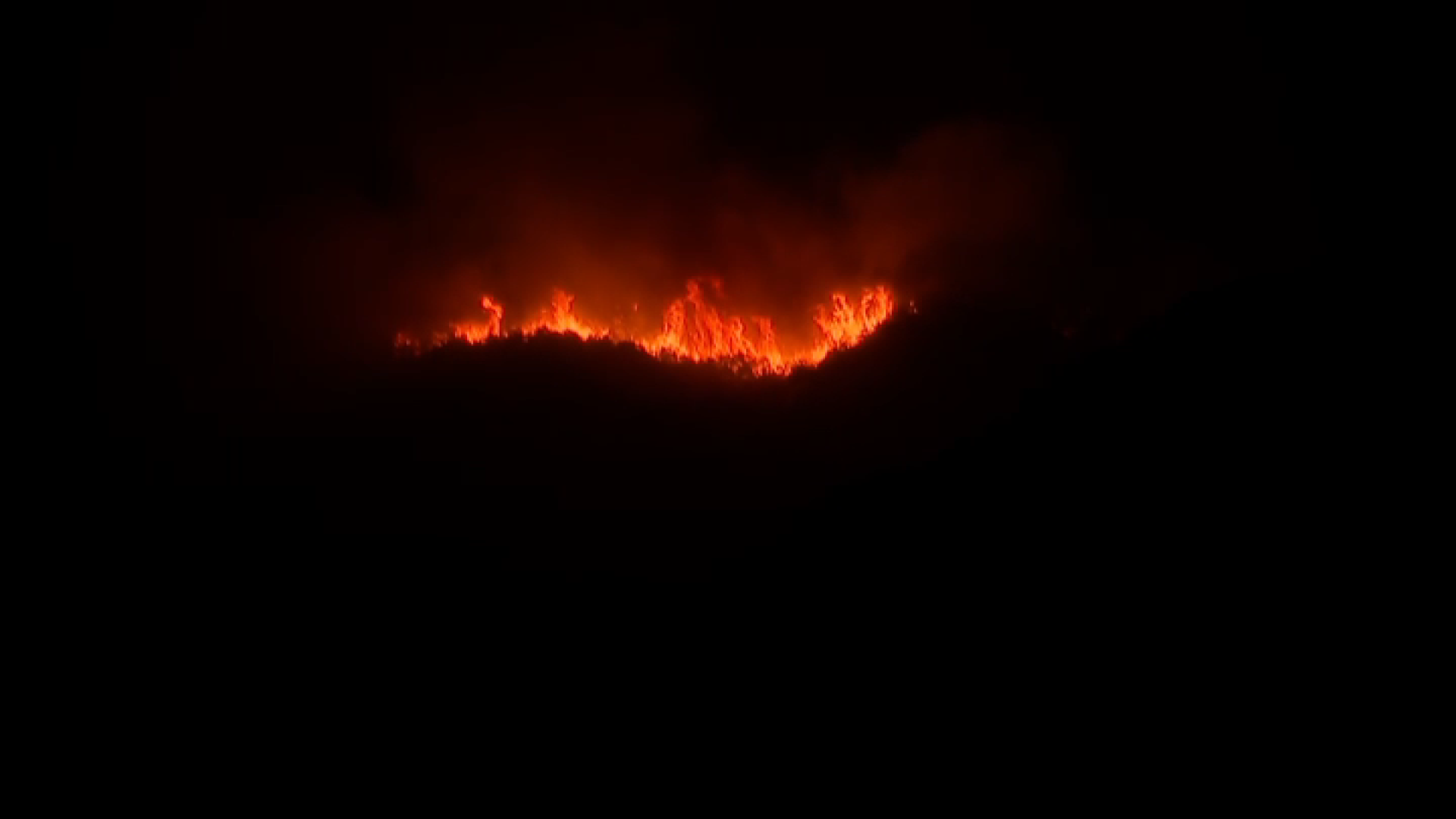
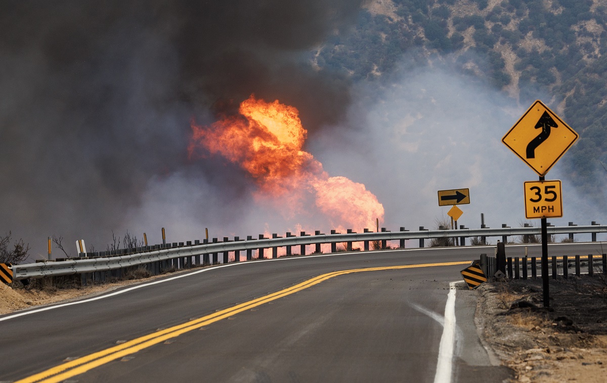
Firefighters battling the Line Fire in San Bernardino County remain concerned the more than 20,000-acre blaze could grow significantly within the next 48 hours as they face unfavorable conditions that are feeding the fire.
Amid triple-digit temperatures in this sweltering heat wave, more than 1,700 firefighters are working to contain the massive blaze ripping through the San Bernardino National Forest. The fire began Thursday night and as of Monday night, swelled to 26,516 acres with 5% containment.
Get top local stories in Southern California delivered to you every morning. >Sign up for NBC LA's News Headlines newsletter.
“Really tough fire, still,” Cal Fire Battalion Chief Brent Pascua said. “Same conditions as the last few days – hot, dry and we have thunderstorms predicted again for today.”
The hot weather, coupled with steep terrain in remote areas, has proved to be a challenge for crews working tirelessly to upend the blaze, which is threatening about 36,000 structures. Three firefighters were injured in the blaze.
Due to the fire, Bear Valley Unified School District canceled classes for Monday and Tuesday.
Gov. Gavin Newsom also issued a state of emergency because of the fire. The National Guard arrived Monday night to help law enforcement keep order.
The following evacuation orders and warnings have been issued:
Evacuation orders
- CA-38 and Middle Control Rd, Angelus Oaks
- Garnett Street east to the 138 and Mill Creek north to the foothills
- The area from Calle Del Rio to Hwy 38, including Greenspot Road North
- All underdeveloped land east of Highway 330 to Summertrail Place and north of Highland Avenue
- The areas of Running Spring east of Highway 330 and south of Highway 18
- The communities of Running Springs and Arrowbear Lake
- The area east of Orchard Road to Cloverhill from Highland Avenue north to the foothills
- North of Highland Avenue and East of Palm Avenue to Highway 330
- Garnett Street east to 38 and Mill Creek north to the foothills
- Forest Falls
- Mountain Home Village
Evacuation warnings
- Neighborhoods east of Church Street, north of Highland Avenue
- Neighborhoods east of Weaver, north of Greenspot to the Iron Bridge
- Green Valley Lake
- Cedar Glen, Lake Arrowhead, Crestline, and Valley of Enchantment
Road closures
- Highway 18 is closed going northbound (inbound) from Kuffle Canyon to Running Springs. Only southbound (outbound) traffic is allowed.
- Highway 18 is closed from Running Springs to Highway 38 (Big Bear Dam).
- Highway 330 is closed from Highland Ave to Highway 18 in Running Springs.
Evacuation shelters
- San Bernardino County Fairgrounds, Building 6 -- 14800 7th St., Victorville, CA 92395
- Jesse Turner Community Center -- 15556 Summit Ave., Fontana, CA 92336
- Devore Animal Shelter (Large and Small Animals) -- 19777 Shelter Way, San Bernardino, CA 92407