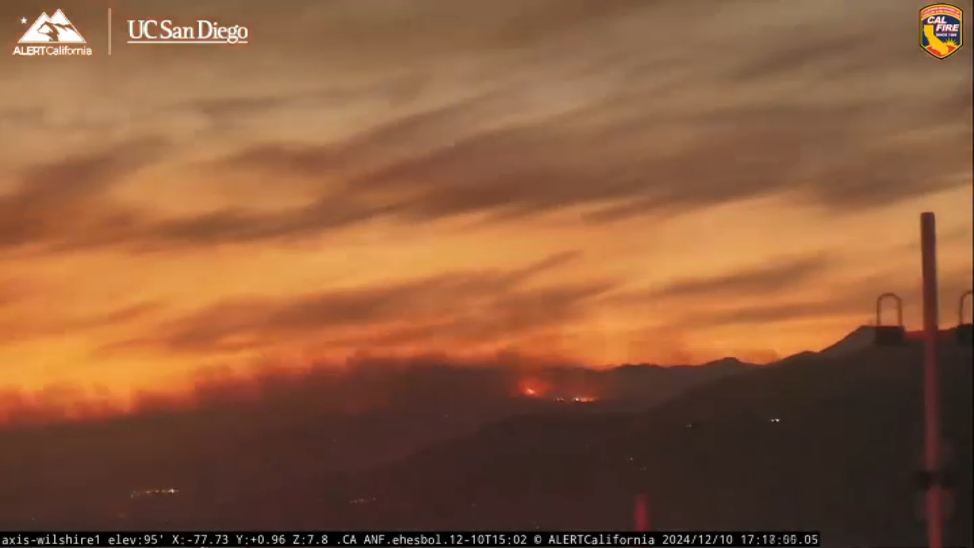
The Franklin Fire that started in the Malibu area Monday night expanded overnight to nearly 4,000 acres.
The fire is currently burning 3,983 acres near Pepperdine University, prompting closures and evacuations. The fire is currently 7% contained as of Wednesday morning.
Evacuation orders
Get top local stories in Southern California delivered to you every morning. >Sign up for NBC LA's News Headlines newsletter.
According to LA County officials, an evacuation order means that there is an immediate threat to life. "This is a lawful order to LEAVE NOW. The area is lawfully closed to public access."
Evacuation orders have been issued for the following areas:
- South of Piuma Road
- North of the Pacific Ocean coastline
- East of Puerco Canyon Road/Corral Canyon Park
- West of Los Flores Canyon Road
- Between the Pacific Ocean coastline and Tuna Canyon Park to the west of Tuna Canyon Road
- East of Malibu Canyon Road and south of Piuma Road, and the Serra Retreat area.
Evacuation warnings
Local
Get Los Angeles's latest local news on crime, entertainment, weather, schools, COVID, cost of living and more. Here's your go-to source for today's LA news.
According to LA County officials, an evacuation warning means that there is a potential threat to life and/or property. "Those who require additional time to evacuate, and those with pets and livestock should leave now."
Evacuation Warnings have been issued for the following areas:
- East of Trancas Canyon Road and Kanan Dune Road
- West of Topanga Canyon Blvd/Surfview Drive
- South of Mulholland Highway
- North of Evacuation Order boundary. Includes Topanga Zone 8 and 10
School closures
Students at Pepperdine University were ordered to shelter in place, with the school issuing a statement on social media Tuesday night. But as of 6:55 a.m. on Wednesday, the shelter in place protocol was lifted.
While the Franklin Fire continues to burn in the Santa Monica mountains, active flames remain diminished on the campus, with a few spot fires, and periodic hot spots, all of which are being addressed by fire personnel. Accordingly, last night’s shelter-in-place protocol for the…
— Pepperdine University (@pepperdine) December 11, 2024
All schools in the Santa Monica-Malibu School District have also been closed until Thursday due to the fire.
Road Closures
According to the California Highway Patrol - West Valley, Pacific Coast Highway between Topanga Canyon Blvd and Kanan Dume Rd remains closed.
Other closures include:
- Cold Canyon Road at Piuma Road
- Las Virgenes Road at Piuma Road
- Saddle Peak Road at Tuna Canyon Road
- Mulholland Highway at Stunt Road
Hard Closures:
- Malibu Canyon Road at Mulholland Highway to Pacific Coast Highway
- Las Virgenes Road at Mulholland Highway to Pacific Coast Highway
Soft Closures:
- Pacific Coast Highway closed between Carbon Canyon and Corral Canyon Road (Open to only those actively evacuating the area)
- Old Topanga Canyon Road at Mulholland Highway to Topanga Canyon Boulevard (Open to residents)
Any additional road closures can be found on the LA County Public Works website.
Shelters
A shelter has been established at the Palisade Rec Center located on 851 Alma Real Drive in Pacific Palisades.
Another shelter that is open is located at the Calabasas Community Center at 27040 Malibu Hills Road in Calabasas.
These centers are open to everyone who has been displaced by the wildfire. Pets are also welcome in carriers and crates.
A shelter for small animals has been set up at the Agoura Animal Care Center, located at 29525 Agoura Road in Agoura Hills.
A shelter for large animals has been set up at Pierce College located at 6201 Winnetka Ave in Woodland Hills.
The city of Malibu has also set up an emergency information and supply station at Zuma Beach where residents can stop by for updates, food, water and first aid assistance.
The city of Malibu is also providing updates at https://www.malibucity.org/alerts.


