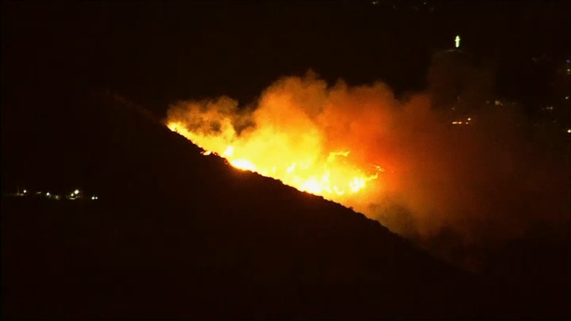
Five major wildfires were burning Thursday morning in Los Angeles with strong winds in the forecast through the rest of the week and tens of thousands of people under evacuation orders.
The map below shows evacuation zones for the following fires:
- Palisades Fire: Estimated at 17,200 acres in Pacific Palisades.
- Eaton Fire: Estimated at 10,600 acres in the Altadena area.
- Hurst Fire: Estimated at 855 acres in Sylmar
- Lidia Fire: Estimated at nearly 350 acres in the Antelope Valley community of Acton.
- Sunset Fire: Estimated at about 40 acres in the Hollywood Hills.
Get top local stories in Southern California delivered to you every morning. Sign up for NBC LA's News Headlines newsletter.


