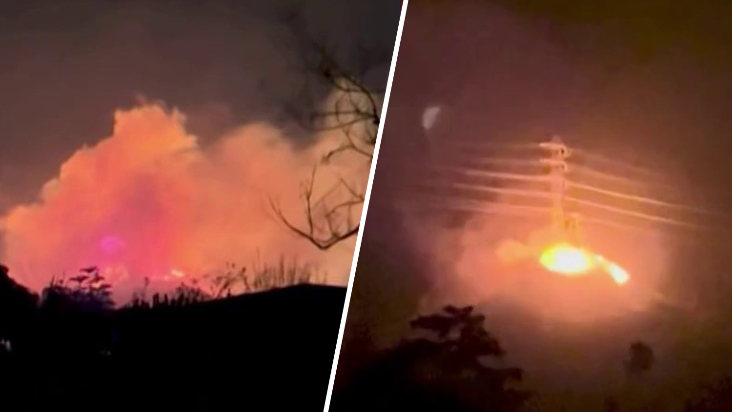
The Eaton Fire in Altadena has burned over 14,000 acres and is 27% contained as of Monday morning. Michelle Valles reports for the NBC4 News at 4 a.m. on Jan. 13, 2025.
Newly released maps offer a look at what was destroyed and damaged by the Palisades Fire and Eaton Fire in Los Angeles County.
The preliminary damage assessment maps provided by LA County feature color-coded icons indicating whether a building, including homes and businesses, was destroyed, whether it sustained major or minor damage, and those left inaccessible.
It also depicts buildings that were not damaged by the deadly fires. If a building does not have a color code, it has not been inspected.
Get top local stories in Southern California delivered to you every morning. Sign up for NBC LA's News Headlines newsletter.
Users can use a search feature to find a specific address.
The maps are the result of preliminary field inspects, which are ongoing and subject to change as information in gathered and verified. By the time all the damage in assessed, the fires are expected to constitute one of the costliest disasters in U.S. history.
Gov. Gavin Newsom told NBC News on Sunday that he believes the fires will be the worst natural disaster in the history of the country "in terms of just the costs associated with it, in terms of the scale and scope."
Map: Eaton Fire damage assessment
The Eaton Fire in Altadena started Jan. 7 during a severe Santa Ana windstorm that fanned flames behind gusts up to 80 mph.
The fire was 33-percent contained at 14,100 acres as of Monday morning.
Map: Palisades Fire damage assessment
The Palisades Fire in Pacific Palisades started on the morning of Jan. 7 and destroyed entire neighborhoods near the Los Angeles County coast.
The Palisades Fire was at 23,700 acres with containment at 14 percent.


