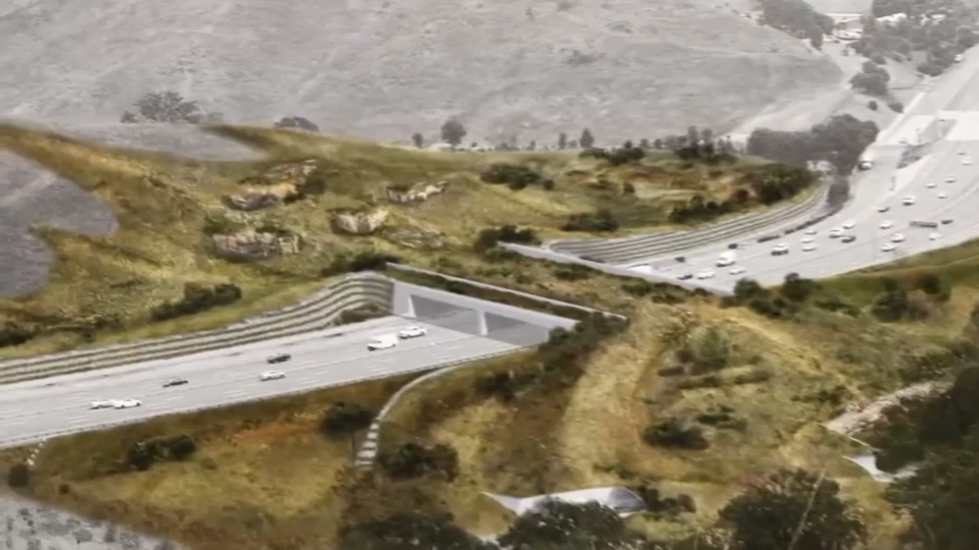
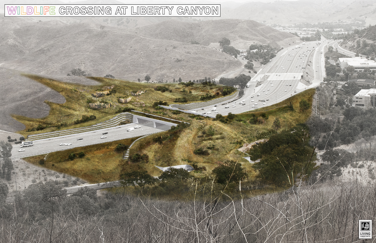
Southbound lanes of the 101 Freeway in Agoura Hills will close overnight for weeks beginning Monday as crews begin to work on the largest wildlife crossing project in Los Angeles.
Installation for the Wallis Annenberg Wildlife Crossing will begin Monday night as part of Caltrans' effort to create a safe crossway for wild animals to move between habitats. The move comes as a way to remedy what experts believe is a barrier on the 101 Freeway that poses a major threat to wildlife near the Santa Monica mountains.
"This bridge is really a hopeful project in that it is reconnecting the Santa Monica Mountains to the rest of the world and providing the resiliency that wildlife needs, especially the mountain lions," said Beth Pratt of the National Wildlife Federation.
Get top local stories in Southern California delivered to you every morning. >Sign up for NBC LA's News Headlines newsletter.
Construction for the crossing started last year, but these concrete girders are the first visual milestone that give us an idea of what the Wildlife Crossing will look like.
The first phase will close down the southbound lanes near Liberty Canyon Road beginning April 15. This will take place Monday through Friday from 11:59 p.m. to 4 a.m. for the next several weeks before moving to the northbound lanes.
“We hope it sets the precedent for the type of overcrosses we can build down the line not just for us but other states and across the nation,” said Mark Bischoff, a public information officer for Caltrans District 7.
Drivers who find themselves needing to travel through the stretch of Freeway that will be closed can take detours that include the 23 and 405 freeways.
The closures will allow Caltrans to place 82 girders above the freeway that extend from the median to the shoulder, which will be the foundation for the wildlife bridge. This is expected to take eight weeks to complete.
Once the project is finished, it will be wide enough to carry about five to 10 lanes of traffic -- animal traffic, that is. It is slated for completion around late 2025 or early 2026.
Drivers can also use Caltrans’ QuickMap service to see a detailed list of the closures and detours.


