
The new fire hazard severity zone map shows which California neighborhoods are considered “very high” zones. Conan Nolan reports for the NBC4 News on Monday, March 24, 2025.
The California Department of Forestry and Fire Protection has updated its classification of areas that are more at risk of being affected by wildfires.
The new fire hazard severity zone map shows which California neighborhoods are considered “very high” zones while others can be classified as “high” or "moderate.”
Enter your address in the map below to see the new categorization affecting your area and find out which fire department is in charge in your neighborhood.
Get top local stories in Southern California delivered to you every morning. Sign up for NBC LA's News Headlines newsletter.
North and south of the Santa Monica Mountains as well as almost everything on both sides of the 405 Freeway through the Sepulveda Pass are now of the highest hazard.
Meanwhile, some areas that are not near mountains are now considered high risk. For example, Glendale is now in the "very high" risk zone due to the potential for wind-driven embers from the Verdugo Mountains.
In other areas, the maps show fire mitigation efforts are making certain areas, including Rancho Palos Verdes, "high" hazard, instead of "very high."

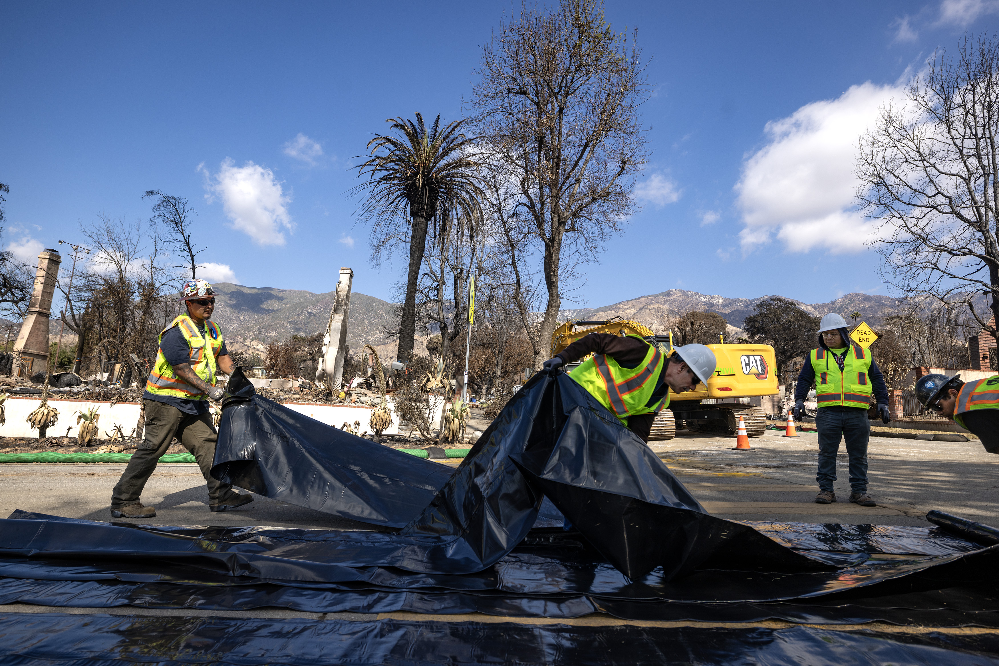
This is the first time in a decade that Cal Fire updated the maps for Southern California as the new classifications include information on the latest wildfire prone areas, fire risk zones and fire-building codes.
The state has been issuing the maps since the Panorama Fie in 1980, which started in the San Bernardino Mountains and wiped out over 300 homes below, killing four people.