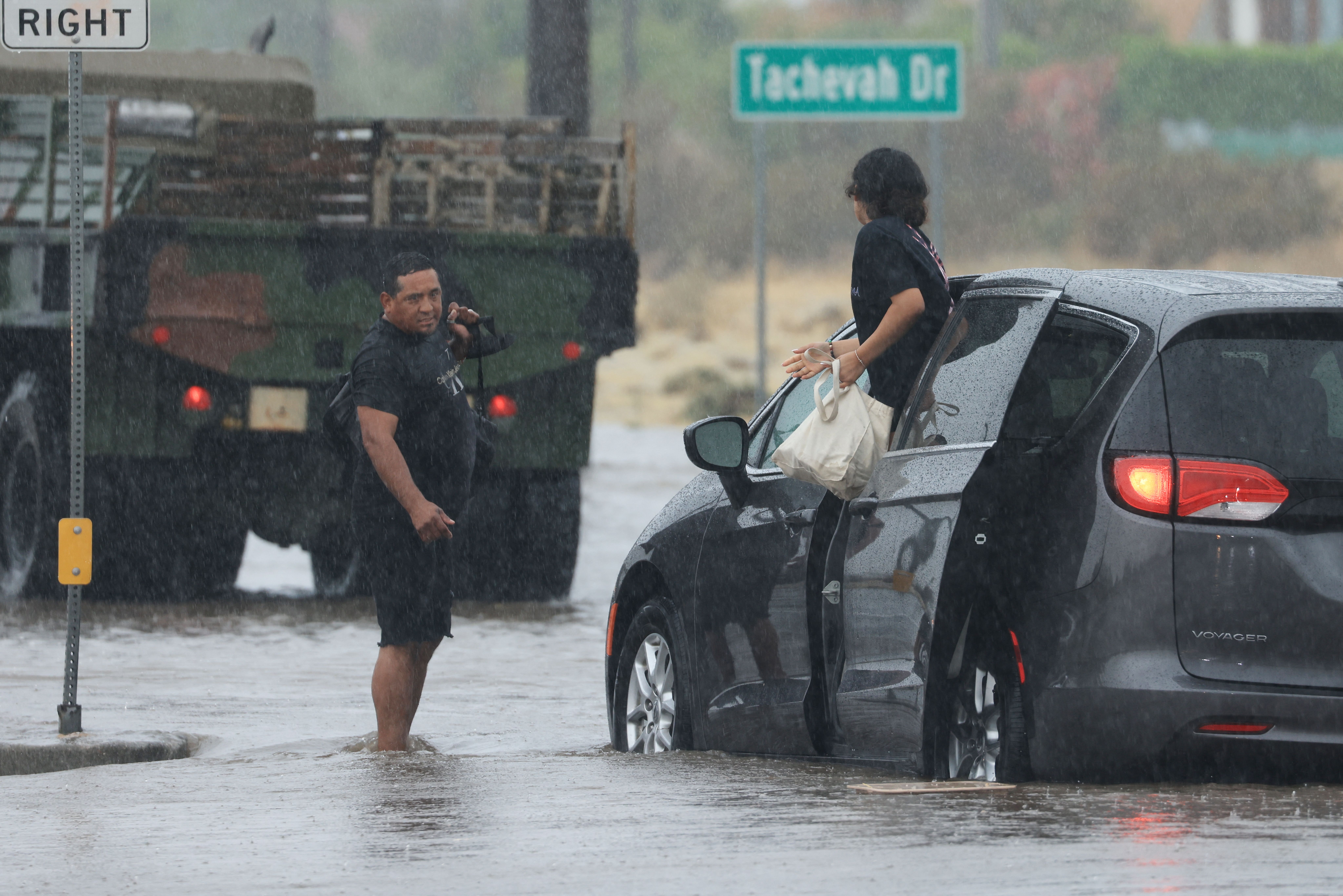
The first tropical storm to hit Southern California in 84 years delivered rainfall records Sunday during what is typically the region's driest month of the year.
Sunday turned out to be the wettest August day ever in downtown Los Angeles with 2.30 inches of rain, breaking the old mark of 2.06 set Aug. 17, 1977 during Cyclone Doreen. Hilary dropped more than half an average year's worth of rain on some areas, including Palm Springs, which saw nearly 3.18 inches of rain by Sunday night.
Rainfall records were shattered throughout Southern California, including in Burbank (3.56 inches), Long Beach (2.63 inches), Woodland Hills (4.65 inches), Palmdale (3.94 inches) and at LAX (2.55 inches).
Observed Precipitation
Aug. 20, 6 a.m. - Aug. 21, 6 a.m. PT
Source: National Weather Service
Get top local stories in Southern California delivered to you every morning. >Sign up for NBC LA's News Headlines newsletter.
Here are some of the impressive rainfall totals so far from Tropical Storm Hilary
- Raywood Flats: 10.55 inches
- Mount San Jacinto: 9.91 inches
- Mount Wilson: 8.56 inches
- Lewis Ranch: 7.04 inches
- Saugus: 6.46
- Lake Palmdale: 5.98 inches
- East Pasadena: 5.74 inches
- Hollywood Reservoir: 4.90 inches
- Beverly Hills: 4.75 inches
- Van Nuys: 4.68 inches
- Castaic: 4.51 inches
- UCLA: 4.26 inches
- Burbank: 3.56 inches
- Thousand Oaks: 3.29 inches
- Downtown LA: 2.38 inches
Click here to see rainfall totals as of early Sunday.
A flood advisory remains in effect for parts of Los Angeles and Ventura counties. HIlary, once at Category 4 hurricane off the Pacific coast of Mexico, was a tropical storm by the time it reached Southern California Sunday, delivering heavy afternoon and evening rain.
The system became a post-tropical storm Monday, moving north into Nevada. Rain was expected to diminish by Monday afternoon in Los Angeles.
Hurricane Hilary
1-2 Rainfall forecast
Valid Aug. 20 through Aug. 22
Source: NOAA


