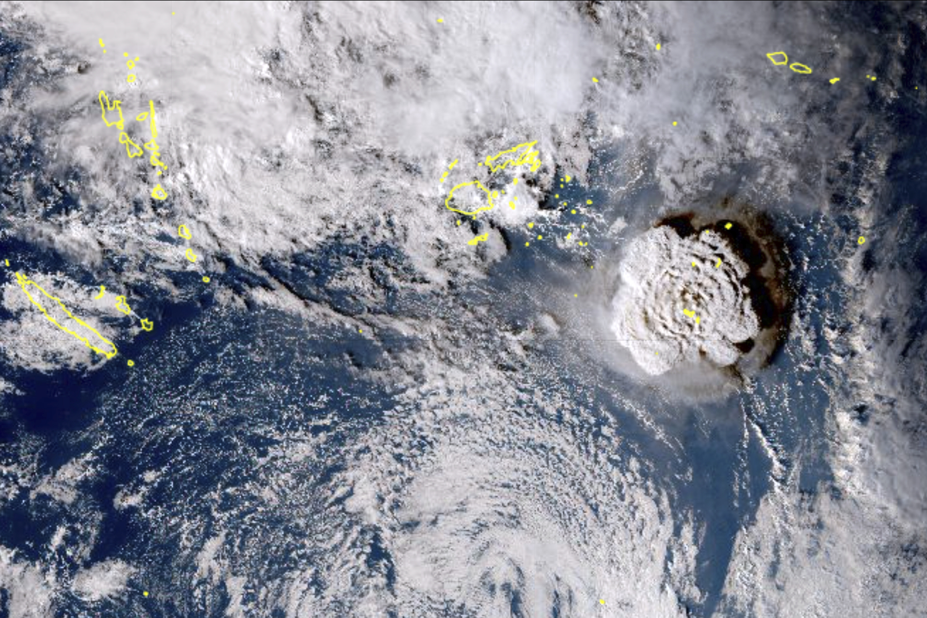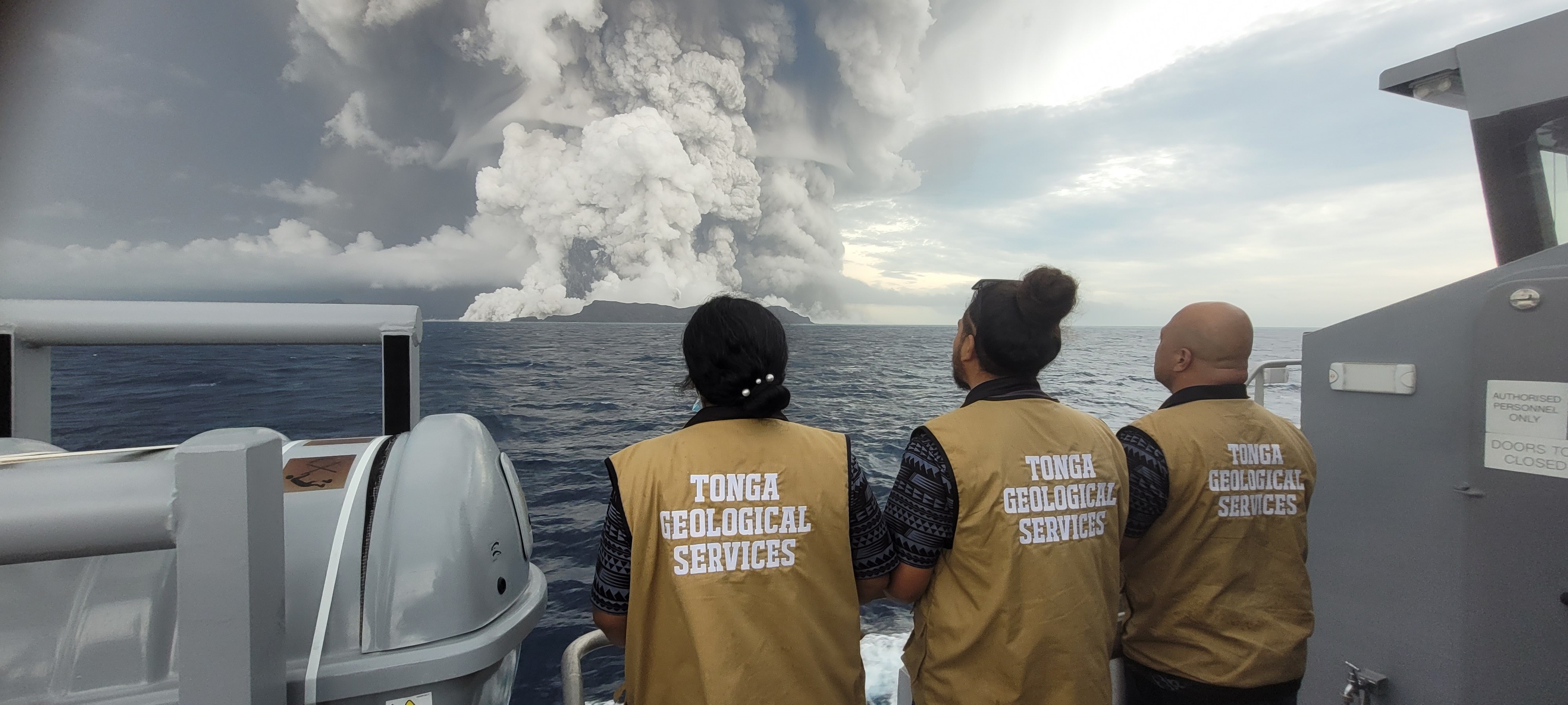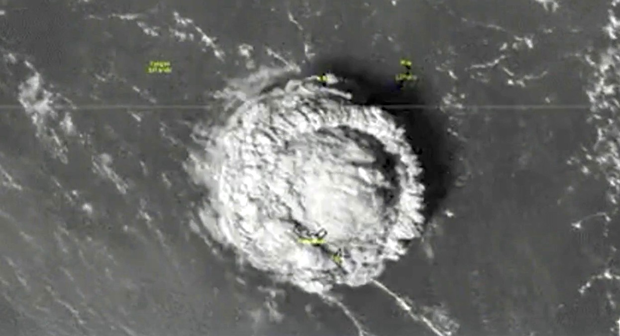
Saturday's Tsunami Advisory for the entire West Coast of the U.S. -- caused by an explosive volcanic eruption near the Pacific Island nation of Tonga -- resulted in relatively mild waves, between one and two feet tall. But in the event of more extreme tsunami events, are you at risk?
That's the question the California Geological Survey and California Governor's Office of Emergency Services hope to answer with their "Tsunami Inundation Maps."
According to the CGS, tsunamis are a series "of extremely long waves caused by a large and sudden displacement of the ocean (after an earthquake, for example)," which radiate out from the starting point in all directions.
Tsunamis travel faster in deep water, and can reach speeds over 500 mph -- faster than a jet plane.
Get top local stories in Southern California delivered to you every morning. Sign up for NBC LA's News Headlines newsletter.
"As they enter shallow water near land, they slow to approximately 20 or 30 mph, which is still faster than a person can run," the CGS says. And as they slow down, they get taller.
Planning ahead in the case of a tsunami advisory or tsunami warning is important, especially for parts of the coastline that are at a higher flood risk.
The interactive maps, embedded below, allow you to put in your address -- or the address of a place you visit frequently -- and search, to see how quickly flooded that area might be in the event of a tsunami.
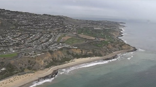
Residents of Long Beach, along Huntington Beach, or those further north in Santa Monica may be living in the hazard zone along the coast.
Armed with the knowledge from the maps, which were first created in 2009 and were updated in March 2021, CGS and Cal OES hope people can plan a safe evacuation route out of the hazard zone in the event of a tsunami emergency.
The state also has a helpful California Tsunami Preparedness Guide, with information on where tsunamis have occurred in the past and what you can do if one heads toward your area.
To ensure you're prepared if a tsunami hits your area, here are some of those tips from CGS:
- Get your local tsunami evacuation map.
- Practice your evacuation route.
- Put together or purchase an emergency “go-bag,” containing at least 72 hours of supplies. Here's what the American Red Cross recommends, and here's a list from Ready.gov.
- Ensure you have multiple ways to receive tsunami warnings. That includes paying attention to your surroundings by looking out for strong earthquakes or sudden rises or falls in the ocean, in addition to making sure your phone is set to receive emergency alerts. A battery operated NOAA Weather Radio is also recommended.
Visit the Tsunami Zone website for more resources.


