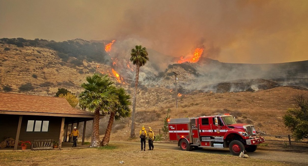
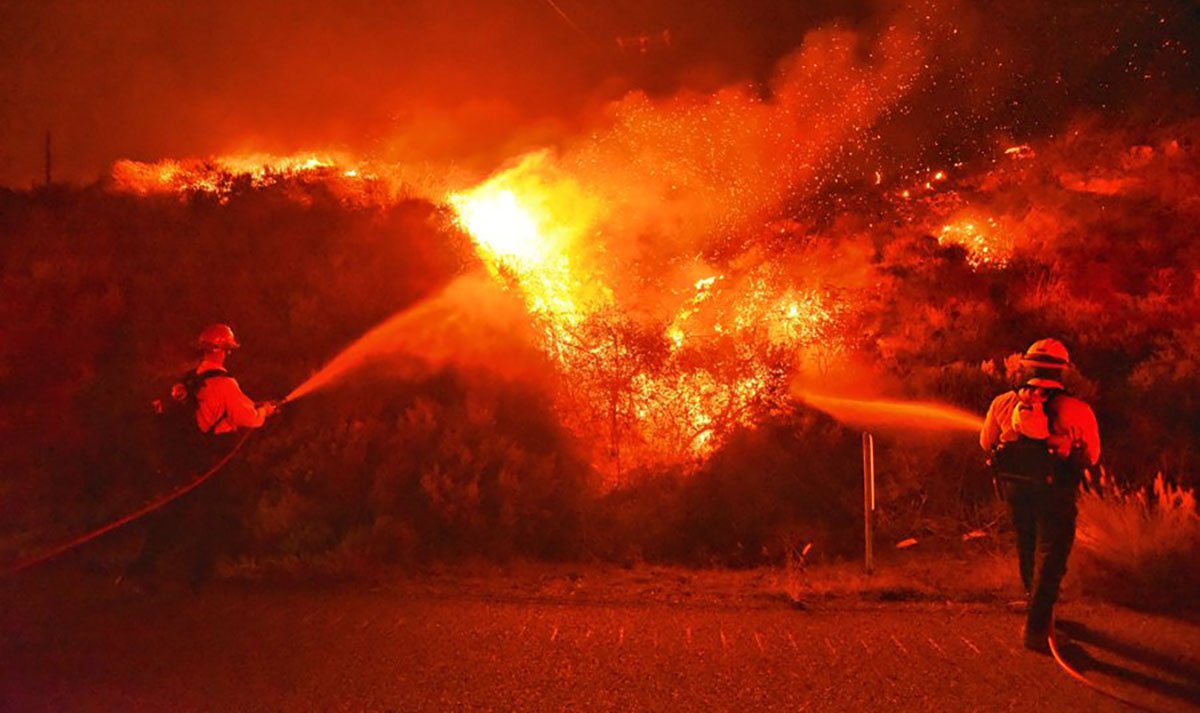
Officials in Santa Barbara County have issued evacuation orders for parts of the county within the Alisal Fire burn scar, as the atmospheric river-fueled storm headed for the area raises concerns about flash floods and debris flows.
The evacuation order, issued late Sunday morning by the county's Office of Emergency Management and the Sheriff's Office, was put in place "due to an incoming storm Sunday night (October 24) through Monday morning (October 25) with the potential to produce a debris flow," a county statement read.
Individuals living "west of Las Flores Canyon, east of Mariposa Reina, south of West Camino Cielo, and down to the ocean," all areas in and around the burn scar, were ordered to evacuate by noon on Sunday.
Get top local stories in Southern California delivered to you every morning. >Sign up for NBC LA's News Headlines newsletter.
The flash flood warning from the National Weather Service is in effect beginning Monday, October 25 at 6:00 a.m., and goes through 12:00 noon that day.
NBC4 meteorologist Belen De Leon said the potential for rainfall rates of up to one inch per hour, causing concern about debris flow in the scar area.
"This could affect roads and structures in the affected area, including Refugio Road and Highway 101," Santa Barbara County said in their statement.
An Evacuation Center for those affected by the order can be found at the SBCC Wake Center, on 300 N. Turnpike Road, Santa Barbara 93111.
Those who need help with animal evacuation can call the Animal Services Hotline at 805-681-4332, or after normal business hours, ask for the on-call Animal Control Officer after calling the Sheriff’s non-emergency dispatch line at 805-683-2724.
As of Sunday, Oct. 24, the Alisal Fire is 97% contained, with approximately 16,962 acres burned.


