What to Know
- A winter storm warning was issued from 4 p.m. Saturday to 10 a.m. Sunday in the mountains. The warning was cancelled by 7 a.m. Sunday.
- Snow level was expected to get as low as 3,500 feet.
- More rain is expected next week.
The second in a series of holiday week storms brought a gift for anyone dreaming of a wet and snowy Christmas in Southern California.
Steady rain pushed into the region from the central California coast. The heaviest rain is expected Saturday night.
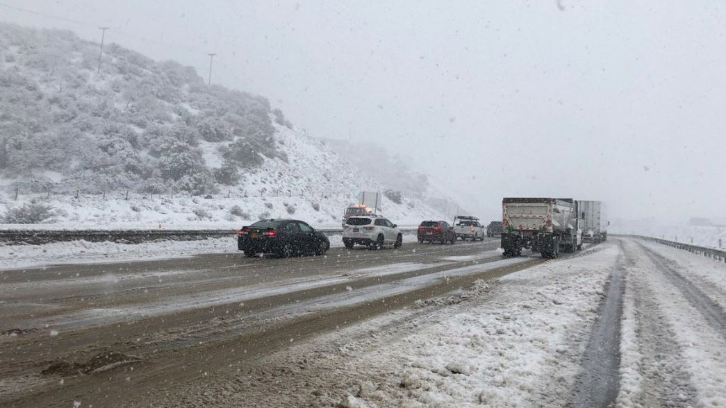
A winter storm warning was issued from 4 p.m. Saturday to 10 a.m. Sunday in the mountains, where the snow level was expected to get as low as 3,500 feet. Six to 12 inches of snow were expected above 5,000 feet.
Get top local stories in Southern California delivered to you every morning. >Sign up for NBC LA's News Headlines newsletter.
As of 7 a.m. on Sunday, the winter storm warning was cancelled.
The system will move through the region fairly quickly, with just lingering snow showers on the north facing mountain slopes by Sunday morning.
Photos: Holiday Storm Images From Around California
The storm is expected to be colder but less moist than the system that hit the area Thursday and Friday, which dropped between 1.5 and 3 inches.
Saturday's rain will produce between .5 and 1 inches for most areas, with up to 1.5 inches in favored foothill/mountain locations. In the mountains, a winter storm warning was issued from 4 p.m. Saturday to 10 a.m. Sunday.
Here's the storm timeline of when the heaviest rain is expected.
- Late Saturday in Los Angeles County.
- Around midnight in the San Gabriel Valley and Orange County.
- After midnight in the Inland Empire.
The snow level was expected to get as low as 3,500 feet, with 6 to 12 inches of snow expected above 5,000 feet. Saturday's high temperatures will be in the upper 40s and 50s, with lows dropping into and 30s in some valley and mountains areas, and the high 20s in the Antelope Valley.
Wind gusts of up to 45 miles an hour are expected in the mountains and high desert.
Looking Ahead to Next Week's Weather
Another significant rainstorm is forecast for Monday, with .5 to 1 inch of rain expected in a fast-moving system with the potential for more.
Snow levels could drop below 2,500 feet Tuesday, with a dusting in the foothills.
The next storm after that will affect the region from late Tuesday night into Thursday, with another system quickly moving in from the north Friday.
New Year's Day was shaping up to be dry but cool across the region, though the forecast could still change between now and then.
The Bigger Picture for California's December Weather
In October, the National Oceanic and Atmospheric Administration announced that a the Pacific Ocean was showing signs of a new La Nina, the flip side of the El Nino ocean-warming pattern, that tends to cause changes in weather worldwide.
Forecasters said much of California would have a 33% to 50% chance of below-normal precipitation, while only the state's far northern tier had equal chances of above- or below-normal precipitation.

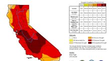
But the storm track has trended farther south than is usual during La Ninas. After a series of mid-December tempests, California's overall snow-water equivalent — a measurement of how much water is in the snowpack — jumped from 19% of normal to date on Dec. 10 to 76% of normal on Dec. 17, according to the latest U.S. Seasonal Drought Outlook.
While the current wet trend is positive, it is too early to know if it will last through January and February. The snowpack normally doesn't reach its maximum until April and last spring there was minimal runoff because much of the water was absorbed by the drought-parched landscape.


