The most powerful Pacific storm of the season is forecast to bring up to 10 feet (3 meters) of snow into the Sierra Nevada by the weekend, forcing residents to take shelter and prompting at least one Lake Tahoe ski resort to close Friday.
The storm began barreling into the region on Thursday, with the biggest effects expected to close major highways and trigger power outages Friday afternoon into Saturday. A blizzard warning through Sunday morning covers a 300-mile (482-kilometer) stretch from north of Lake Tahoe to south of Yosemite National Park.
“Your safe travel window is over in the Sierra,” the National Weather Service in Reno posted Thursday morning on social media. “Best to hunker down where you are.”
Meteorologists predict as much as 10 feet (3 meters) of snow is possible in the mountains around Lake Tahoe by the weekend, with 3 to 6 feet (0.9 to 1.8 meters) in the communities on the lake’s shores and more than a foot (30 centimeters) possible in the valleys on the Sierra’s eastern front, including Reno.
Get top local stories in Southern California delivered to you every morning. Sign up for NBC LA's News Headlines newsletter.
Winds are expected to gust in excess of 115 mph (185 kph) over Sierra ridgetops, and 70 mph (113 kph) at lower elevations.
“This will be a legitimate blizzard,” UCLA climate scientist Daniel Swain said during an online briefing Thursday. “Really true blizzard conditions with multiple feet of snow and very strong winds, the potential for power outages and the fact that roads probably aren’t going to be cleared as quickly or as effectively as they normally would be even during a significant winter storm.”
Backcountry avalanche warnings were in place around Lake Tahoe, as well as areas around Yosemite National Park stretching down to Mammoth Lakes.
Alpine Meadows, an affiliate of neighboring Palisades Tahoe, will be closed Friday. Palisades planned to open only its lowest elevation runs, and could end up closing those.
Andrew Schwartz, the lead scientist at UC-Berkeley’s Central Sierra Snow Lab, said it is possible they could break their modern-day record of about 3.5 feet (1 meter) of snow in a single day from back in 1989. The lab was founded atop the Sierra in 1946 in Soda Springs, California, northwest of Lake Tahoe.
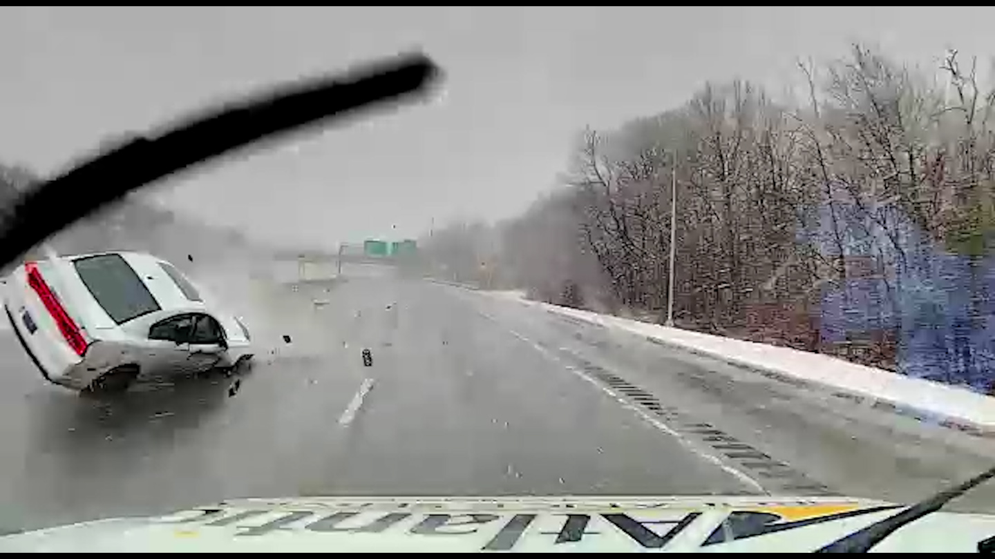
The California Highway Patrol imposed travel restrictions on a long stretch of Interstate 80 between Reno and Sacramento, requiring drivers to put chains on their tires. A stretch of the highway was closed for hours at midday Thursday while crews cleared the wreckage of a semi-trailer truck that overturned near Truckee, California.
On the bright side, California water officials said the storm should provide a much-needed shot in the arm to the Sierra snowpack, which is vital to the state’s water supplies and sits well below normal so far this season.
Palisades Tahoe ski resort wrote on X, formerly known as Twitter, that the big dump expected over the weekend on top of 8 feet (2.4 meters) of snow in February should allow them to keep the slopes open through Memorial Day. But it warned blizzard conditions are likely to force temporary closures off and on through the weekend.
Todd Cummings decided to drive from Santa Cruz to the Lake Tahoe area ahead of the storm with plans to lay low during the blizzard and then hit the slopes.
“When a storm comes in, people have a tough time getting there, so there’s sometimes less crowds on the mountains and there is untracked, fresh snow that it’s super light and you float on it. It’s fantastic!” he said.
Some remained skeptical it will be as bad as predicted.
Richard Cunningham said he has heard before about forecasts for the storm of the century that didn’t materialize since he moved from Las Vegas to Reno in 1997.
“Same story, different day,” he said. “Sometimes it doesn’t even snow.”
That was before blue skies gave way to clouds and gusty winds that blew the roof off a shed east of Reno Thursday afternoon.
Howie Nave, a radio DJ and stand-up comedian in South Lake Tahoe, said some people may not have been taking the storm seriously earlier in the week because dire forecasts of potentially heavy storms have not materialized several times this winter.
“There were times when I was expecting a Saint Bernard, but you gave me a Chihuahua,” Nave said about the weather forecasters.
But “everybody's talking about the storm up here,” he said. “This is the first time we've had a blizzard warning.”
The Sierra Nevada snowpack stood at 80% of average to date but only 70% of the typical April 1 peak, California Department of Water resources officials said Thursday.
“The results today show just how critical this upcoming month is going to be in terms of our water supply outlook for the upcoming year,” hydrometeorologist Angelique Fabbiani-Leon said during a briefing at Phillips Station, a snowpack-measuring location south of Lake Tahoe.
___
Associated Press reporter John Antczak contributed to this report from Los Angeles. Rodriguez reported from San Francisco.


