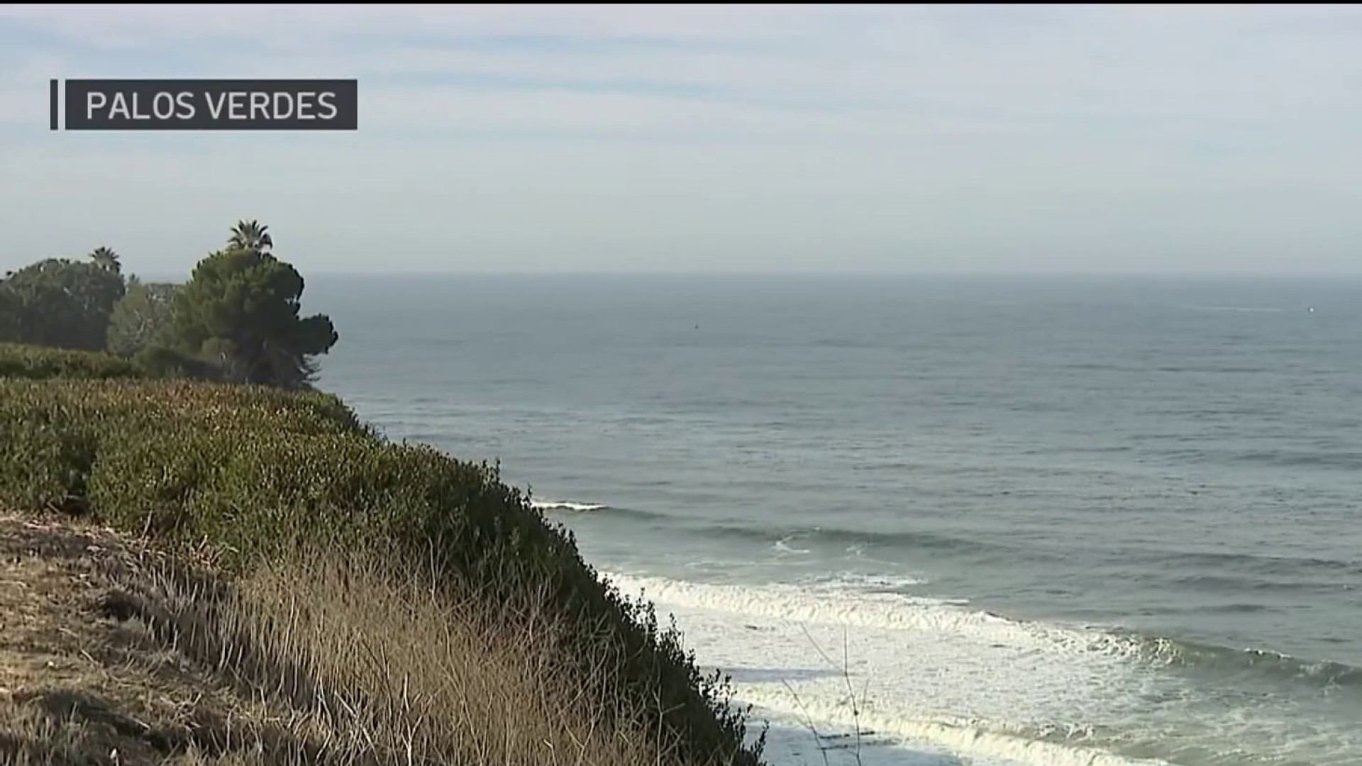
The Blob is back – and this one is no joke.
Notwithstanding its silly name, this meteorological phenomenon could herald the impending end of California's devestating drought, according to JPL's Bill Patzert and other respected climate scientists.
The Blob refers to an amorphous mass of water warmer than what surrounds it off the coast of North America. Unusually cold or warm water masses have been linked to climate patterns onshore, notably the wet phenomenon dubbed El Nino, and its dry counterpart, La Nina.
Patzert sees the Blob as a precursor.
The last time it appeared – in 1997 – it was followed within months by one of California's wettest El Nino winters ever. Indeed, satellite data reveal an unusually large mass of warm water in the equatorial Pacific, the trademark of El Nino, is now moving toward the Americas.
If the El Nino continues developing as expected, so-called "pineapple express" storms would be expected to begin arriving next winter.
Till then, California would still need to get through another dry summer. In recent weeks, after the past winter ended with a whimper, Gov. Jerry Brown set a statewide water conservation goal of 25 percent, and California's Water Resources Control Board has set specific reducation targets for individual water districts.
News
Top news of the day
Patzert urged Californians not to abandon conservation measures in expectation of relief nearly a year away.
Even more significantly, other indicators dating back 16 months signal a shift in a longterm pattern that alternates between two phases, one conducive to El Ninos, the other to La Ninas. It's called the Pacific Decadal Oscillation (PDO), and its last shift to warmer and wetter weather in the Southwest coincided with the end of the major drought during the 1970s. There followed a series of wet El Nino winters during the next two decades.
In the late 90s – after the El Nino Winter of '98 – the PDO shifted back to a cool, dry phase for the Southwest, coinciding with an extended period of below average precipitation in this region, culminating in the current drought now in its fourth year.
The PDO shift will be a "drought buster," Patzert predicted.
"Whether it's this year or next, it's coming. This will not be a mega drought," Patzert said, quashing the notion that the type of decades-long drought that geological records indicate can occur every few centuries.
However, climate patterns cannot be expected to replicate exactly what occurred during previous PDO phases, and could be affected by the even longer term pattern of global climate change.
The looming El Nino has implications for the northeast as well, which just endured one of its coldest and snowiest winters on record. El Nino conditions typically result in milder winters in the U.S. northern tier.

Meantime, testing phase is nearly complete for another NASA-JPL project to gather climate-relevant data from space – specifically variations in soil moisture. Because the satellite uses two both active and passive data-gathering technologies, the project has been dubbed SMAP, for Soil Moisture Active Passive. Its instruments measure soil radiation, and from that moisture levels can be calculated.
With instruments calibrated, the project can move into the science phase next month, said Dr. Eni Njoku, a SMAP scientist who focuses on carbon and water cycles.
The data are expected to have far reaching applications, including assisting agricultural planning, flood prediction, and drought monitoring.


