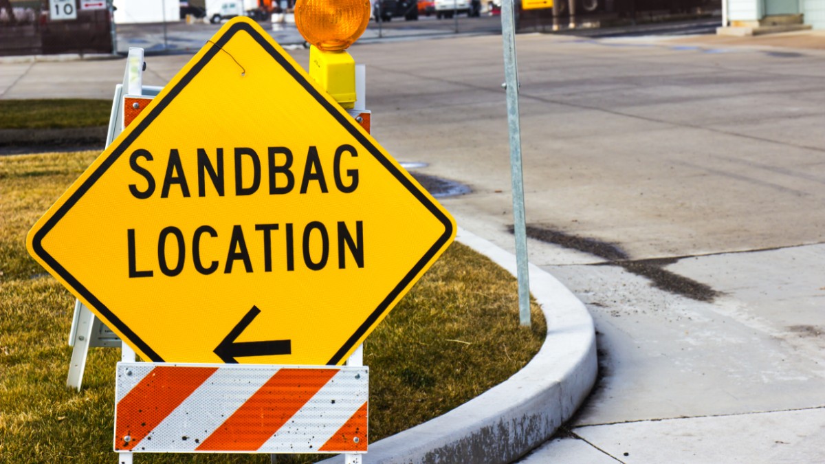
A winter storm packing snow and rain is barreling toward California with significant precipitation expected Sunday and into early next week.
The weekend storm comes after a system that arrived Thursday and produced snow that continued to fall Friday morning in the Los Angeles and San Bernardino county mountains, making for scenic views in communities like Big Bear and Wrightwood.
This weekend's forecast, which includes a storm fueled by another atmospheric river over the Pacific, has locals enthusiastic about what's to come on top of an already snowy start to February. That enthusiasm is accompanied with some suggestions for anyone visiting the mountains this weekend.
Get top local stories in Southern California delivered to you every morning. Sign up for NBC LA's News Headlines newsletter.
"We're ready for it," said Nathan Osborn, who works at Pharmacy Boardshop in Wrightwood. "But please be safe. If you need chains, whatever the CHP is asking you to do, just do it. Safety first."
From Sunday to Tuesday, the mountains will see widespread rain with early snowfall estimates above 6,000 feet through Monday night. Expect lower elevation snow down to around 4,000 feet by later Tuesday into Wednesday.
Rock and mud slides are possible in the mountains, along with flooding of small streams and rivers.
The San Bernardino County Department of Public Works asked visitors to travel with chains and move over for snowplow crews working to keep mountain roads open for residents and weekend visitors.
In Los Angele County, snow plow crews were clearing lanes Thursday on State Route 2 at the 6,000-foot level in Angeles Forest. The road remained closed Friday morning from Mt. Wilson Red Box Road to Upper Big Tujunga Canyon Road and from Islip Saddle to Vincent Gulch for emergency repairs.
Southern California winter weather driving checklist
The California Highway Patrol offers the following advice when the weather turns wet and snowy. Whether it's rain, snow, ice or fog, there are a few things to remember on the road.
Rain
- The first 10 minutes after the rain begins can be the most dangerous because the rain mixes with oil from motor vehicles and oil from new asphalt resulting in a slippery roadway.
- If you start to hydroplane, ease off the accelerator and steer straight until you gain control.
- Drive with headlights on.
- Apply brakes more slowly.
- Leave extra distance between your vehicle and the one ahead of you.
Fog
- Drive with lights on low beam.
- Watch for CHP pace vehicles to guide you through fog.
- Avoid crossing traffic lanes.
- Do not stop on highways except in emergencies.
- Move away from stalled or disabled vehicle.
Snow
- Carry chains in snow conditions, even if vehicle has four-wheel drive.
- Observe speed limit in chain control areas.
- Check owner's manual for operating tips on your vehicle's braking system.
- Watch for paddle-shaped markers. They show the edge of the road.
- Studded pneumatic tires may only be used between Nov. 1 and April 31 unless studs are retracted.
- Stay with your vehicle if it breaks down.
Winter Weather Checklist
- Tires with plenty of tread
- Windshield wipers in good condition
- Washer full of fluid.
- Gas tank full
- Defroster working
- Muffler and exhaust in good condition
- Antifreeze in radiator
What to Carry
- Tire chains and tighteners
- Flashlight and batteries
- Flares
- Small shovel
- Windshield scraper
- Warm, waterproof clothing
- Blankets, snacks, and drinking water


