What to Know
- Expect only a slight chance of light rain this weekend in the Los Angeles area.
- Temperatures will stay below normal with cloudy skies into next week, when another chance of rain arrives.
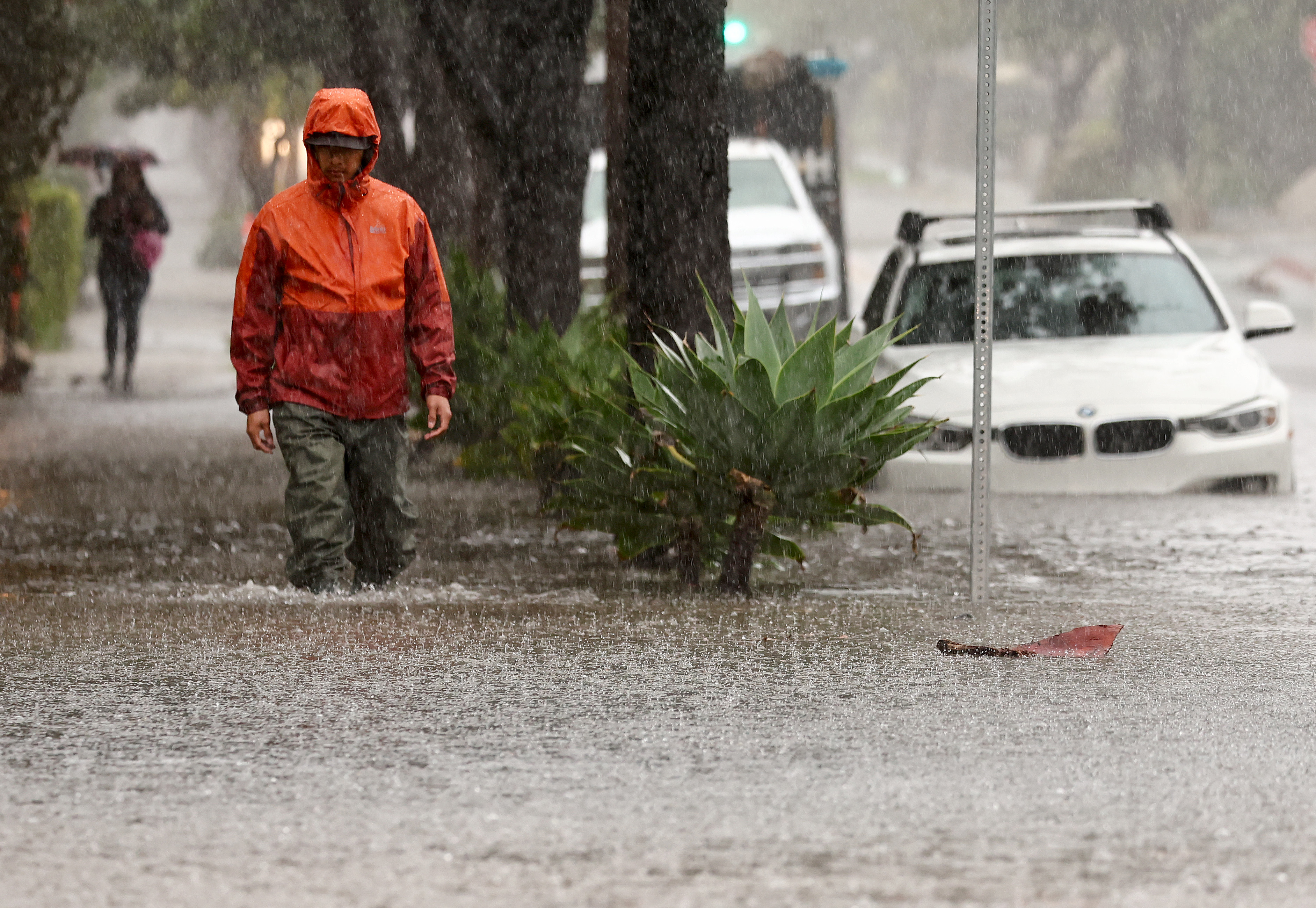
- The first significant storm of the season was fueled by an atmospheric river as it gathered strength over the Pacific Ocean
- The storm caused small landslides and flooding in parts of Northern California.
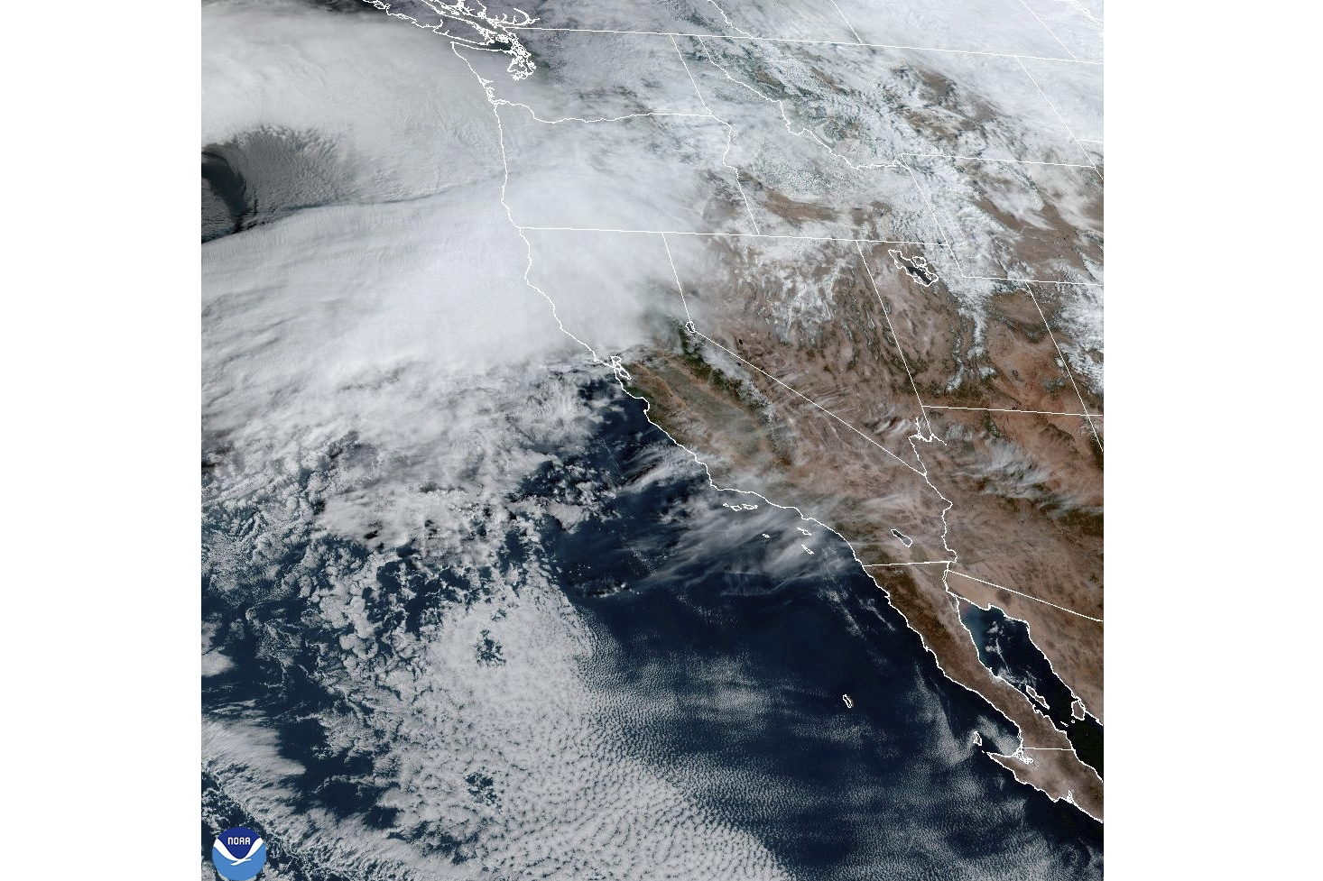
A weakening fall storm that brought record rainfall to Northern California, causing small landslides and flooding, will produce only light rain as it slides into Southern California during a cool and cloudy weekend.
Most areas will stay dry, and those that do see rain will only receive very light precipitation. Expect below-normal temperatures and cloudy skies.
Get top local stories in Southern California delivered to you every morning. Sign up for NBC LA's News Headlines newsletter.
"We're starting to see the storm move in," said NBC4 meteorologist Shanna Mendiola. "It's weakening as it does. It's not raining, yet, but we are seeing those clouds."
Most areas are expected to see under a tenth of an inch of rain. Others will receive a trace.
"That chance of rain is going to be very light," Mendiola said. "Just enough to wet that pavement."
Gusty winds will sweep into desert and mountain communities as the storm passes Saturday around midday. Highs will be in the 50s and 60s.
Snow levels will remain around 8,000 feet.
Another chance of light rain arrives to start the week.
The first significant storm of the season was fueled by an atmospheric river as it gathered strength over the Pacific Ocean. Storms tap into the long band of moisture over the ocean as they move toward the West Coast, carrying the potential for days of steady rainfall and dangerous flood conditions.
West Coast storm delivers record rainfall in Northern California
The storm on the West Coast arrived in the Pacific Northwest Tuesday, killing two people and knocking out power to hundreds of thousands, mostly in the Seattle area, before its strong winds moved through Northern California.
Santa Rosa saw its wettest three-day period on record with about 12.5 inches of rain falling by Friday evening.
Flooding closed part of scenic Highway 1, also known as the Pacific Coast Highway, in Mendocino County and there was no estimate for when it would reopen, according to the California Department of Transportation.
As residents in the Seattle area headed into the weekend, more than 87,000 people were still without power. Crews worked to clear streets of downed lines, branches and other debris, while cities opened warming centers so people heading into their fourth day without power could get warm food and plug in their cellphones and other devices.
Gale warnings were issued off Washington, Oregon and California, and high wind warnings were in effect across parts of Northern California and Oregon. There were winter storm warnings for parts of the California Cascades and the Sierra Nevada.
By Friday night, some relief was already being seen in California, where the sheriff’s office in Humboldt County downgraded evacuation orders to warnings for people near the Eel River after forecasters said the waterway would see moderate but not major flooding.
Despite the mess, the precipitation was expected to help ease drought conditions in a state that has seen an exceptionally dry fall. Parts of California are drought free with other areas in the abnormally dry category one month into the state's wet season.


