
SoCal is preparing for two storms this week, bringing risk of flooding and some snow. This video was broadcast on the NBC4 News at 6 a.m. on March 11, 2025.
Two storms are expected to bring rain and significant snowfall this week to Southern California.
The first storm will deliver light to moderate rain Tuesday. Another more powerful storm arrives Wednesday into Thursday.
Here's a rain and snow timeline.
Get top local stories in Southern California delivered to you every morning. Sign up for NBC LA's News Headlines newsletter.
Tuesday: The first system brings scattered light to moderate rain with snow levels dropping to 5,000 feet. Some areas might receive about 1/4 to 1/2 inch of rain, possibly more in Orange County and the Inland Empire.
Wednesday-Thursday: A more powerful storm developing out of the Gulf of Alaska is expected to deliver rain and snow.
Rain will be scattered and light for much of Wednesday before heavier rain during the overnight hours into Thursday. Flood watches go into effect Wednesday evening through Thursday.
Most of the rain will fall before the Thursday morning drive, but could leave roads flooded.
"This is bringing more significant impacts," said NBCLA meteorologist Stephanie Olmo. "Heavy rain, at times, as we move through the overnight hours."
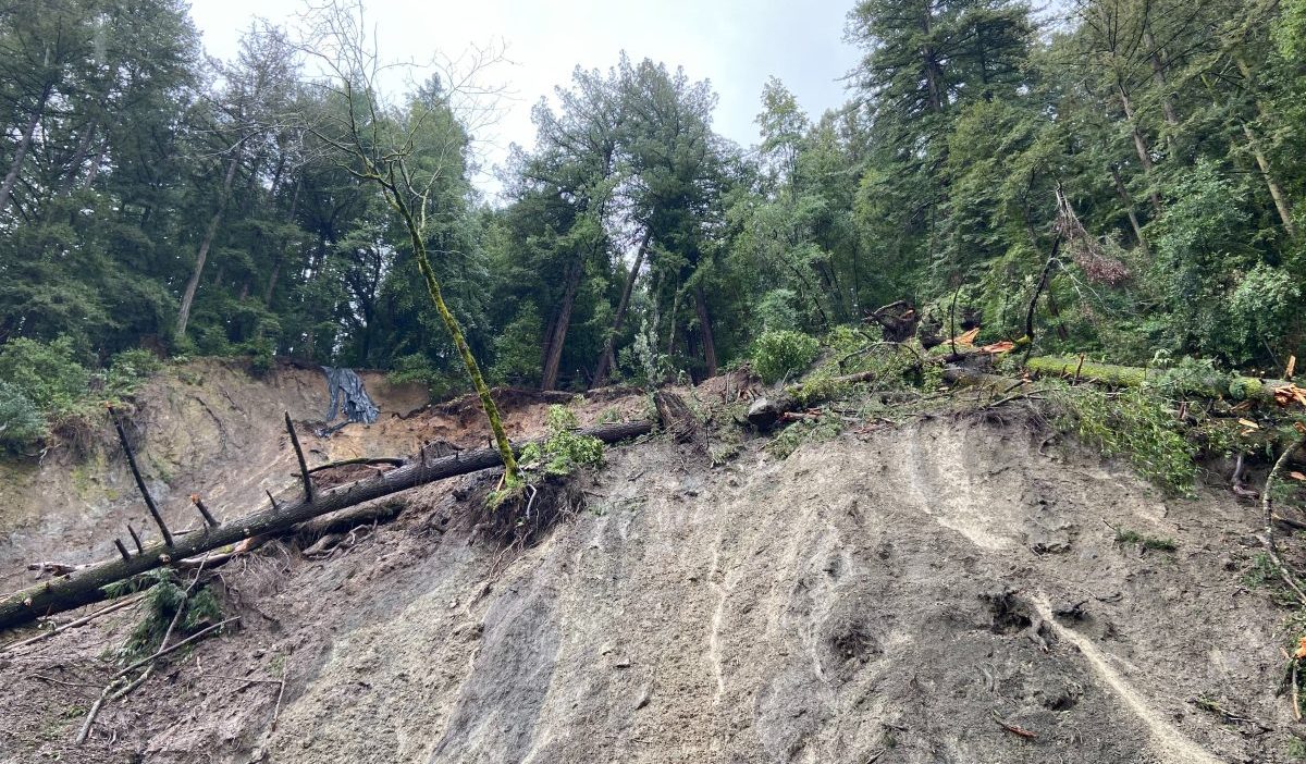
Expect strong winds with rainfall rates possibly exceeding 0.5 inches per hour, raising the risk of local flooding and debris flows in burn areas. Isolated thunderstorms are possible.
Projected rainfall totals include 1 to 2 inches in coastal and valley areas and 2 to 4 inches in the mountains.
Snow levels will start around 6,000 to 7,000 feet Wednesday, but drop to 3,000 to 3,500 feet by Thursday. Locations such as the Grapevine section of the 5 Freeway north of Los Angeles might see accumulating snow.
Drivers might encounter blowing snow in the mountains. One to 2 feet of snow are in the forecast for higher elevations.
A winter storm watch will go into effect for area mountains Wednesday afternoon and continue until midday Friday.
Temperatures will dip into the 50s and 60s. Overnight lows will generally be in the 40s and lower 50s, but drop into the 30s on Thursday and Friday in the mountains and the Santa Clarita and Antelope Valley.
Showers will taper off into the weekend, but cool temperatures stick around.
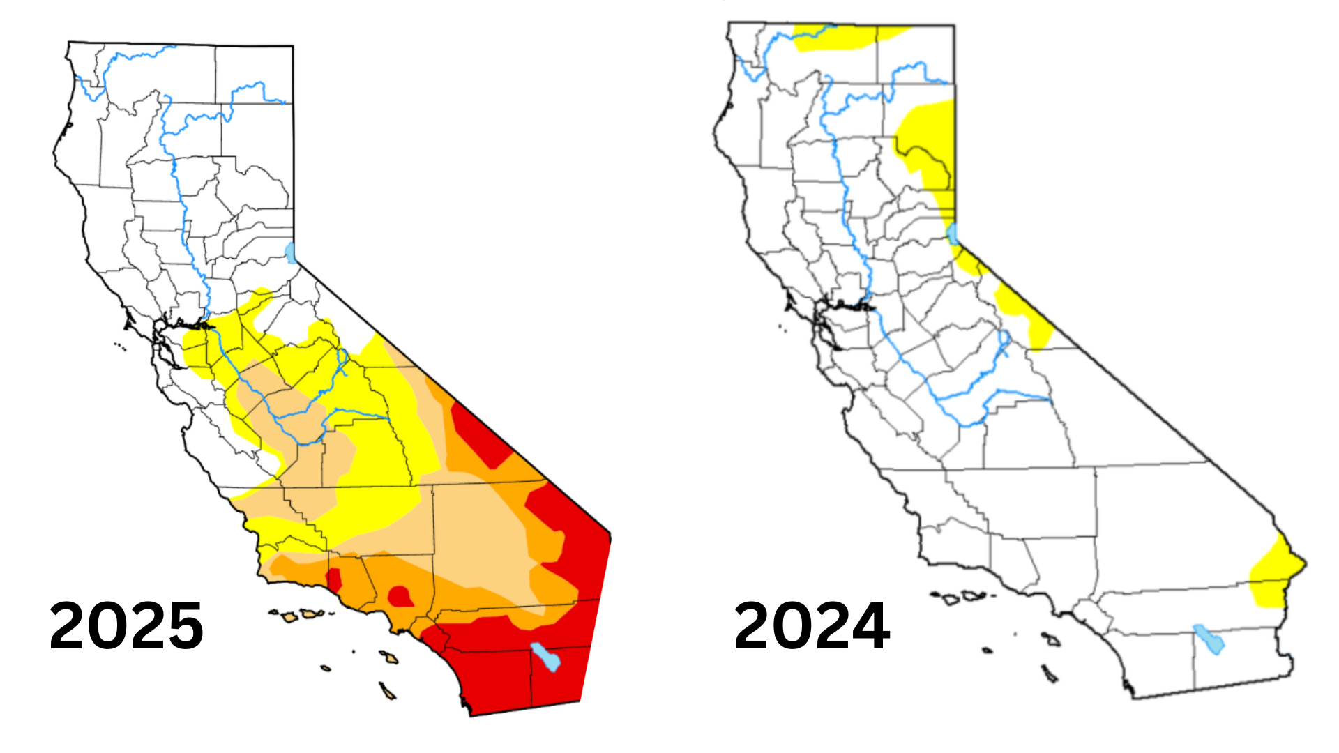
About 42 percent of California was in moderate drought, according to the latest US Drought Monitor report. Extreme drought, the second-most severe category, covered parts of Southern California with most of the region in moderate to severe drought.
No part of California was in drought at this time last year, according to the weekly Monitor.