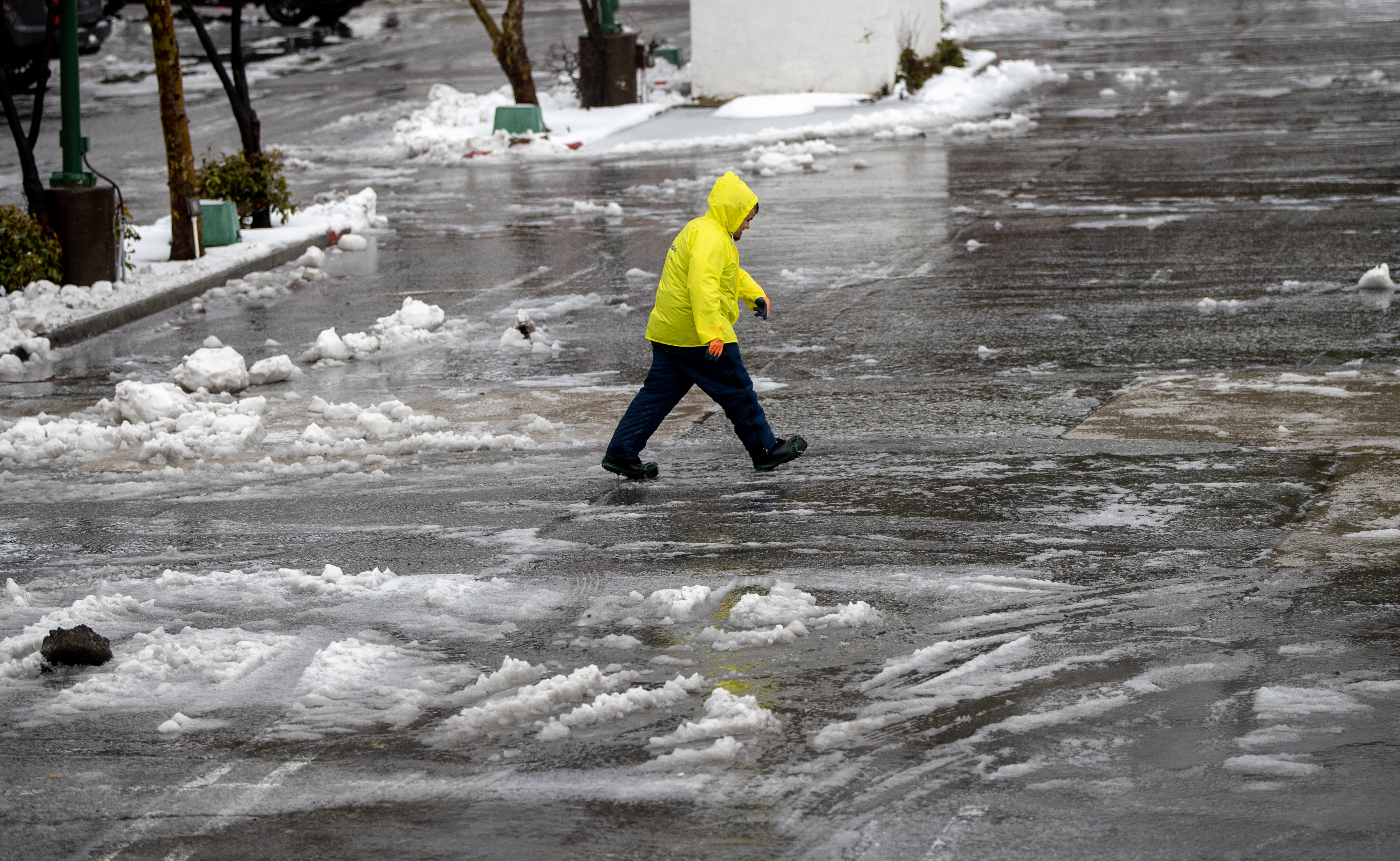
Just when you thought all the rain in Southern California was taking a break, more rain will be making its way through the region this week.
The storm is expected to hit late Tuesday night and last all the way through Thursday.
This storm appears to be weaker than the previous one so rainfall totals are not expected to be as high. There is a very low threat for any flooding or creek overflow.
Most of Tuesday will be dry during the day with partly sunny skies. The storm and clouds will roll in Tuesday night into Wednesday morning. The second batch of rain will come Wednesday night into Thursday morning.
Get top local stories in Southern California delivered to you every morning. >Sign up for NBC LA's News Headlines newsletter.
"We have changes arriving," said NBC4 forecaster Belen De Leon. "Colder by about 12 degrees and that rain increases.
"Overnight, we'll have a few of those scattered showers moving through."
Isolated thunderstorms are a possibility across the region.
This will be a cold storm meaning that snow levels will drop to around 4,000 feet Wednesday night into Thursday.
Most areas across Southern California can expect about a half inch to inch of rain. The mountain and foothill areas will see about an inch to and inch and a half of rain.
The National Weather Service has reported that downtown LA has more than tripled its monthly rainfall average. With only a few days remaining in March the region has already received 6.38 inches, compared to the normal of 2.23 inches. Although this next storm is projected to be weaker the monthly total could see its way closer to 8 inches.
Even though February did not see as much rain, the monthly total of 5.95 inches was still double the normal of 3.64 inches. January saw the most rain this year so far at 8.95 inches, compared to the monthly normal of 3.29 inches.
The normal yearly total for this time in downtown LA is usually closer to 9 inches but this year the NWS has already reported the yearly total at over 21 inches so far.


