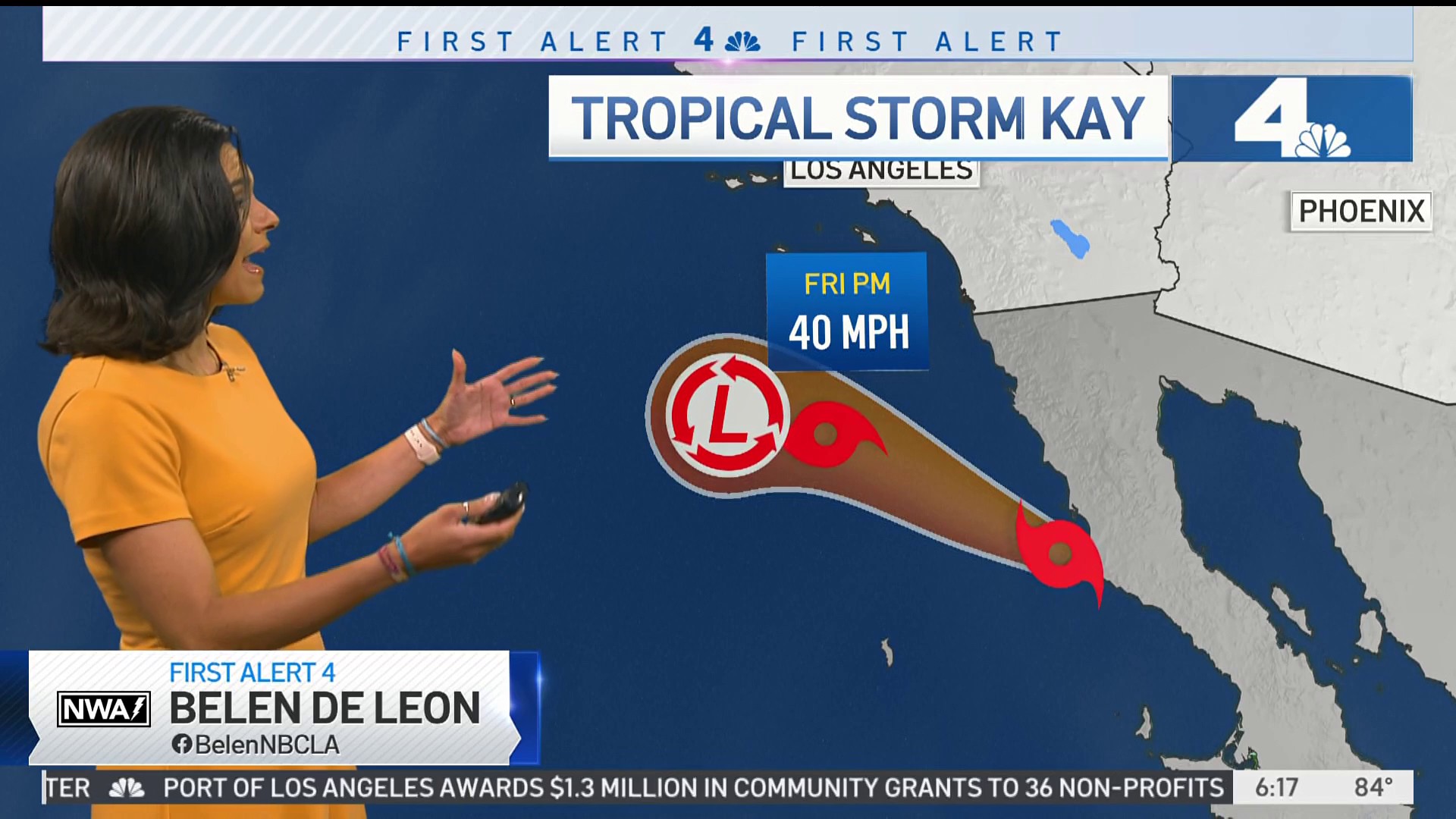
Public works crews raced to protect coastal properties in Long Beach and other communities from flooding and high surf as Tropical Storm Kay made its way up the West Coast from Mexico and Baja California.
The work aims to put berms in place and prevent the large waves pushing up the coastline from making their way into homes and businesses on the oceanfront. In some parts of Long Beach, the waves ended up eroding the berms, sending water dangerously close to at least one man's front porch.
"No berm left," that resident can be heard saying in a video of the surf creeping toward the edge of his home.
Get top local stories in Southern California delivered to you every morning. >Sign up for NBC LA's News Headlines newsletter.
The water left standing between the berms and those Long Beach homes is still significantly less damage than the aftermath of Tropical Storm Kay across the border. Video of the storm in Baja California shows debris strewn in the streets and buildings overrun by water.
The storm won't make a direct landfall in Southern California, but it will still have all kinds of weather impacts in the region. Here's what to expect:
Wind
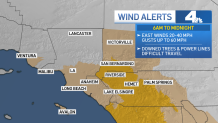
Wind will be the biggest concern for the first half of Friday, with gusty offshore winds expected to develop during the morning and early afternoon.
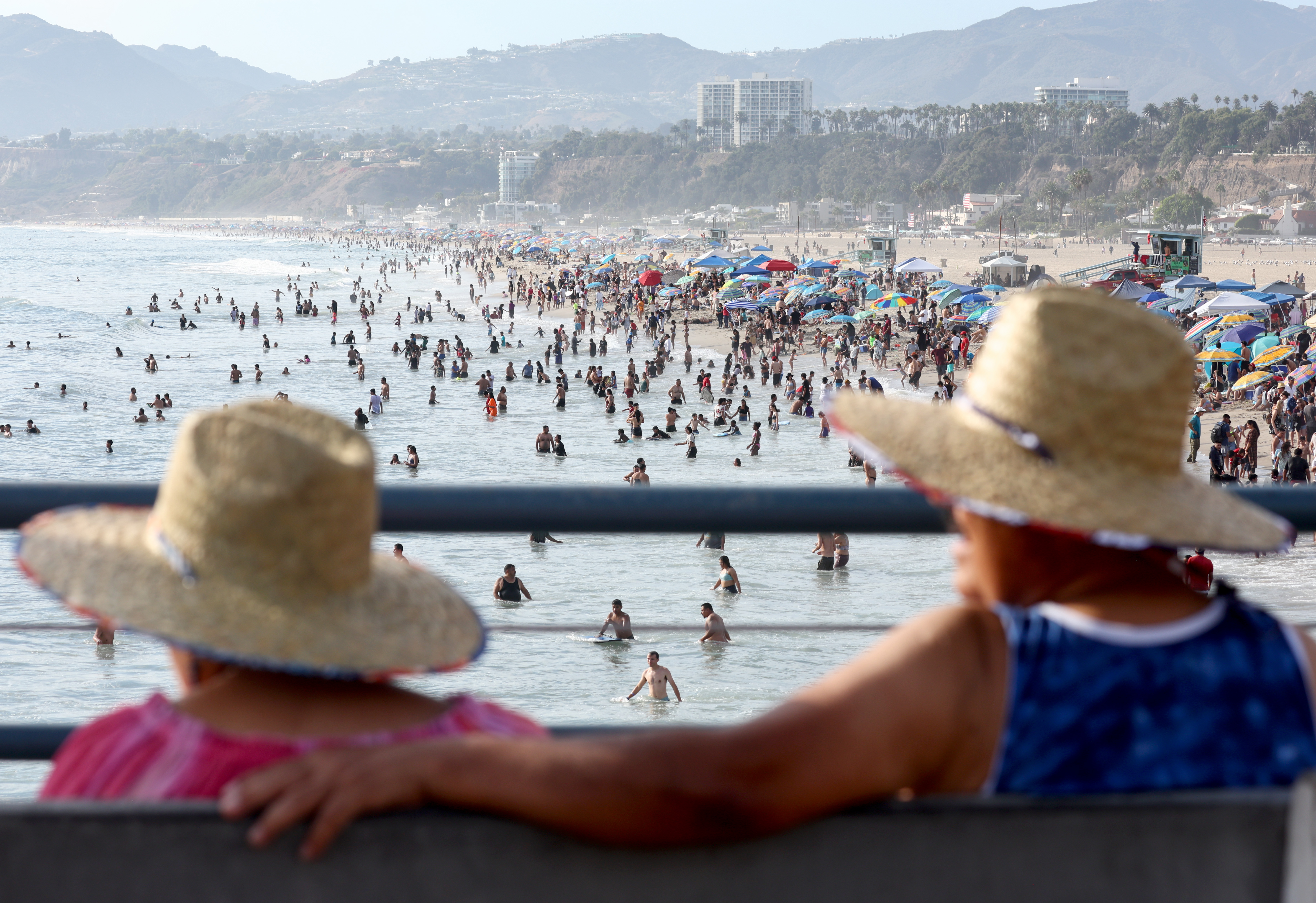
A high surf advisory is in place until Sunday morning, with waves between 4 and 7 feet and dangerous swimming conditions at the coasts.
Some of the stronger winds will be felt in the Inland Empire. This will elevate fire danger, and push temperatures near the coasts and in the basin well in to the 90s. The wind could also down power lines and make travel more difficult.
Most concerning, winds around the Fairview Fire will be in the 20-30 miles per hour range. Some gusts could reach as high as 40-50 mph. Winds may also blow some of the smoke over the rest of the region.
A wind advisory is in place until midnight Friday.

Rainfall
Showers are expected to start developing late on Friday afternoon, with the drying effect of onshore wind preventing the first of the rain from reaching the ground.
During the evening as midnight approaches, showers will get heavier, continuing into early Saturday.
The majority of the rain will fall early in the morning on Saturday, but precipitation will continue all day long with occasional misting or light rain showers, mixed in with a few heavier showers. There may be an isolated thunderstorm through the afternoon and evening.
Scattered showers are possible around the region into Sunday.
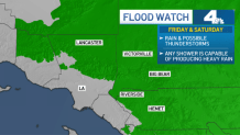
A flood watch is in place for many inland locations.

Rainfall Totals
Lower elevations around Southern California will likely see between .25" and .75" of total rain, while the mountains will see between .75" and 2".
Some areas may see more rain, and with so much moisture in the air, any shower or storm will be capable of producing heavy rain.
The Inland Empire, mountains and deserts are all under Flood Watches from the National Weather Service, and flash floods are a risk in Riverside, the low deserts, and the San Bernardino Mountains.
Fairview Fire
CAL Fire and the Riverside County Fire Department warned the public of possible flash floods and debris flows near the Fairview Fire, via an update on Twitter late Thursday night.
"The National Weather Service forecasts up to 7 inches of rain in areas of Riverside County, which
could lead to flash flooding and potential mud and debris flows," the statement reads in part. "Forecasters say areas most susceptible include the Coachella Valley and recent burn areas," including the Fairview Fire site.
Sandbags are available "from many fire stations and hardware stores," fire authorities said.
The chance for rain starts to diminish Sunday, but showers might linger into Monday.


